Request for final TCARI correctors
This program is a simplified interface to create a request for final TCARI data used to generate waterlevels as used by NOAA. Position data must be supplied can be supplied in two ways, text data or Caris HDCS Navigation files. Position data is supplied similarly to how it is done in the TCARI waterlevel program. Further, metadata about the project, surveyors and transmission addresses must be supplied.
Once all fields are populated and data files are chosen then click the “Create Request” button. This will make the program read the navigation and export a PDF file containing the request and also generate some supporting data files (.mif and .mid at this time) containing summary time/position data as well.
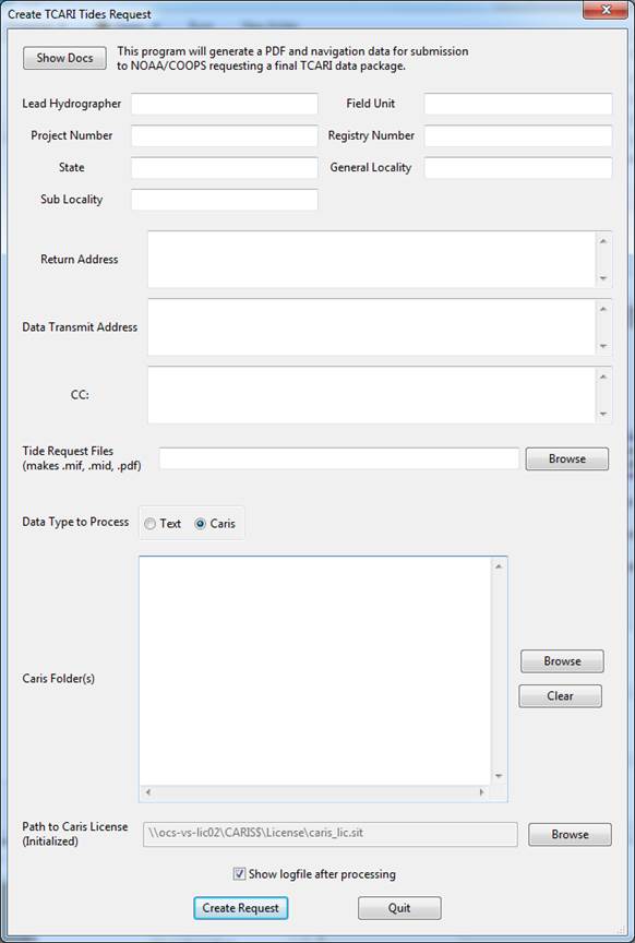
To process ASCII text data containing position and time data (usually ship navigation):
Use the Browse buttons to select the TCARI (*.tc) file that was supplied by NOAA, the text files containing position and time data to have water level computed for, and the text format file (*.afp) also supplied by NOAA. When the format spec file is selected it will display a description of the format it will read in the Description box as well.
There is a sample ASCII text dataset to accompany the TCARI program and it’s format spec AFP file as well as the resulting output files.
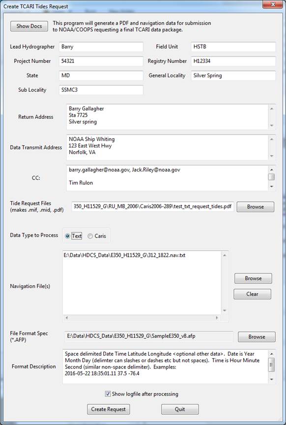
Fig. 34 what the dialog may look like after selecting all options
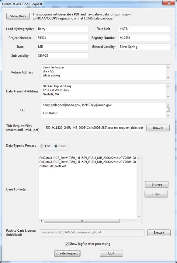
Support for Caris HDCS data is also included. Choose the Caris option from the Data Type radio buttons and the dialog will change to show slightly different options.
The Browse button for Navigation File(s) will now open a specialized selection box for Caris data. You can browse to your data and hold control or shift to multi-select line directories. Alternatively you can select a Caris project, vessel or day directory and press Descend/Confirm and it will automatically highlight any subdirectories that contain recognized Caris Navigation files.
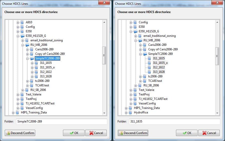
Fig. 35 Before and after pressing descend/confirm
To process Caris data you must also have a valid caris license. By supplying the path to the Caris “.sit” file the caris reading software will be initialized. At this point your screen make look like this:
Once the metadata has been supplied and the navigation files have been specified then pressing the Create Request button will generate files similar to the images below. The files will be located at the location specified in the Tide Request Files location. Multiple files are created that should all be submitted to NOAA/COOPS.
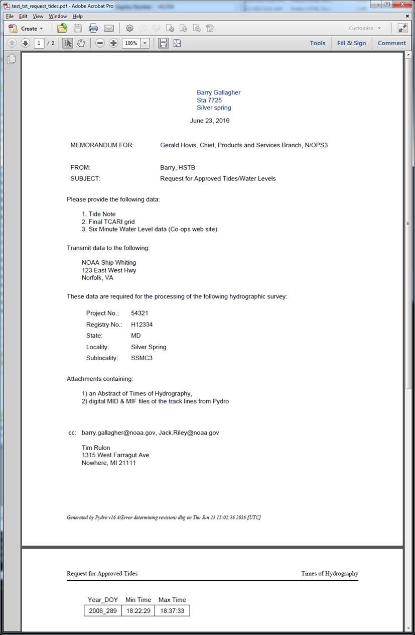
Fig. 36 An example tide request pdf
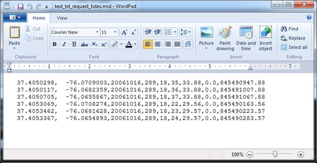
Fig. 37 An example .mid file which contains trackline information
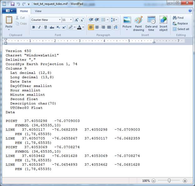
Fig. 38 An example .mif file which is the header and display information (Mapinfo format)
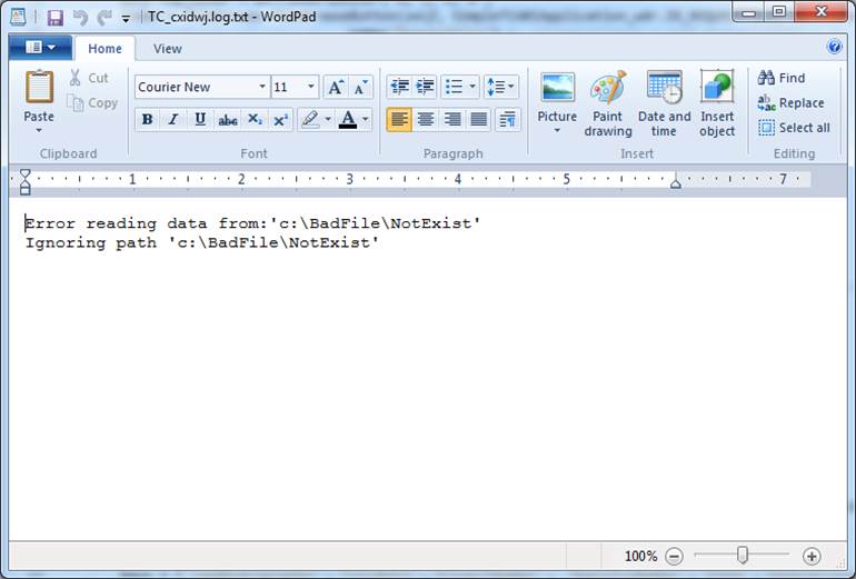
Fig. 39 An example of log messages displayed after running the program
Resources
- Online Resources:
Contact
If you find errors in the documentation or want to contribute, you are encouraged to email the following personnel emails @NOAA.GOV
- barry.gallagher
- jack.riley
- chen.zhang
- eric.younkin